Welcome to
Evanston Open Data
Find, explore and query the City's public data: street trees, zoning, traffic crashes, restaurant inspections, 311 requests and more.
- 53
- Datasets
- 386,083
- Records
- 8
- Categories
Synced from the City's ArcGIS Hub on Nov 5, 2026
What’s at my address?
Your garbage and recycling day, your ward and alderperson, your zoning, and the nearest park and beach.
Browse by category
Every public dataset from the City's ArcGIS Hub, grouped by topic.
Evanston in layers
Wards, parks, beaches, bike routes, speed humps and traffic signals, drawn straight from the City’s published data. Pick a layer to open it, or combine any of them on the map.
Open the mapEvanston in layers
drawn from this portal’s dataData story
When and where do traffic crashes happen in Evanston?
9,472 crash records, by day, hour, cause and street. We combined the City’s crash table with its street map to show where crashes are densest.
Read the story →Popular datasets
Open any dataset to preview it as a table or map, query it, and download it in the format you need.
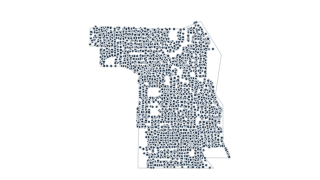 Points
Environment & Energy
Trees
The City of Evanston has inventoried and maintains over 32,000 trees located on City property and in the parkways. The initial data provided on trees located within the City of Evanston was collected in 2014. Maintenance and tree preservati
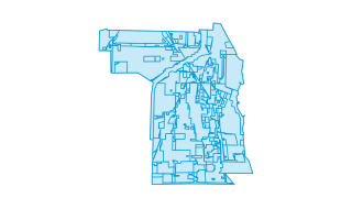 Areas
Zoning & Property
Zoning Districts
The Zoning Code is located in Title 6 of the Municipal City Code. The Zoning Code promotes the public health, safety, comfort, convenience, general welfare, objectives and policies of the comprehensive general plan. As adopted and amended b
 Areas
City Services
Refuse collection days
Trash is picked up in the City of Evanston on a four day schedule.
Public Safety
Evanston Traffic Crashes (2016 to 2021)
Evanston traffic crashes from 10/1/16 to 12/13/21.
Health & Inspections
Food Establishment Inspections (2018 to 2019)
Food inspection scores for businesses in the City of Evanston from 01/02/2018 to 05/14/2019. Food Establishment Businesses data set contains the Last Inspected date. If this date for the Business is newer than the most recent Inspection dat
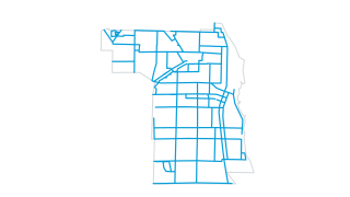 Lines
Transportation
Bicycle routes, lanes, and paths
The City of Evanston has approximately 45 miles of protected bike lanes, bike lanes, bike routes and off-street paths.
Recently updated
City Services
2025 Evanston Open Data Portal Content Inventory
A list of all content (including title and content type) in the City of Evanston's Open Data Portal for the year 2025. This list was compiled as part of the 2025 Open Data Annual Report .
Public Safety
Evanston Traffic Crashes (2016 to 2021)
Evanston traffic crashes from 10/1/16 to 12/13/21.
Public Safety
Fire Department Non Emergency Average Response Times (2012 to 2015)
Evanston Fire Department average response time to non-emergency and emergency situations from 2012 to 2015.
Zoning & Property
Real Estate Transfer Tax for Evanston, IL
Quarterly real estate transfer taxes collected in Evanston, IL.
Health & Inspections
Food Establishment Inspections (2018 to 2019)
Food inspection scores for businesses in the City of Evanston from 01/02/2018 to 05/14/2019. Food Establishment Businesses data set contains the Last Inspected date. If this date for the Business is newer than the most recent Inspection dat
Health & Inspections
Food Establishment Businesses (2018 to 2019)
Contains all business that have had food inspections in the City of Evanston from 01/10/2018 to 05/14/2019. This data set contains the “Last Inspected” date. If this date for the Business is newer than the most recent Inspection date in the
Using the data
Free to reuse
The City publishes this data under its Open Data Portal Terms of Use. Please read them before you reuse the data.
Find and use a dataset
Search by name or browse by category. Tables open in a sortable, filterable preview you can query with SQL; map layers open on a map. Everything downloads as CSV, and connects to the live ArcGIS service.
Missing something?
Ask the City’s open data team at gis@cityofevanston.org, or file a request on the public records portal.
Reports and City tools
The City also publishes these reports and tools.
- FY 2025 Adopted Budget
The City’s adopted budget for 2025 (PDF), plus the interactive digital budget book.
- Staff compensation (2025)
Budgeted employees with total compensation over $75,000 (PDF).
- Police Transparency
The Evanston Police Department’s own data hub.
- Open Data Annual Report 2025
What the City’s open data program did this year, and what’s next.
- Document Center
Ordinances, resolutions, minutes and other City records.
- 311 performance dashboard
How quickly the City responds to 311 service requests.
Your ArcGIS stays the source
Nothing changes for the City’s GIS and open data team. Data keeps being managed in ArcGIS; this site reads it, can refresh on a schedule, and gives residents a faster way in: search across every dataset, tables and maps that load instantly, and queries that run in the browser.