Datasets
53 datasets published by the City of Evanston on its ArcGIS Hub.
53 results
City Services
2025 Evanston Open Data Portal Content Inventory
A list of all content (including title and content type) in the City of Evanston's Open Data Portal for the year 2025. This list was compiled as part of the 2025 Open Data Annual Report .
Public Safety
Evanston Traffic Crashes (2016 to 2021)
Evanston traffic crashes from 10/1/16 to 12/13/21.
Public Safety
Fire Department Non Emergency Average Response Times (2012 to 2015)
Evanston Fire Department average response time to non-emergency and emergency situations from 2012 to 2015.
Zoning & Property
Real Estate Transfer Tax for Evanston, IL
Quarterly real estate transfer taxes collected in Evanston, IL.
Health & Inspections
Food Establishment Inspections (2018 to 2019)
Food inspection scores for businesses in the City of Evanston from 01/02/2018 to 05/14/2019. Food Establishment Businesses data set contains the Last Inspected date. If this date for the Business is newer than the most recent Inspection dat
Health & Inspections
Food Establishment Businesses (2018 to 2019)
Contains all business that have had food inspections in the City of Evanston from 01/10/2018 to 05/14/2019. This data set contains the “Last Inspected” date. If this date for the Business is newer than the most recent Inspection date in the
Boundaries & Demographics
Evanston Race Demographics (2010)
Race demographics for Evanston,IL, based on 2010 U.S. Census Profile of General Population and Housing Charecteristics.
Environment & Energy
Energy and Water Benchmarking for Evanston IL (2018 Data Reported in 2019)
The Evanston Energy and Water Benchmarking Ordinance (33-O16) requires all buildings in Evanston 20,000 square feet and greater to track and report their annual energy and water data to the City. The City then tracks this data and publishes
Health & Inspections
Food Establishment Violations (2018)
Contains the Inspection Violations for a Food Establishment Business during the 2018.
Environment & Energy
Energy and Water Benchmarking for Evanston IL (2019 Data Reported in 2020)
The Evanston Energy and Water Benchmarking Ordinance (33-O16) requires all buildings in Evanston 20,000 square feet and greater to track and report their annual energy and water data to the City. The City then tracks this data and publishes
 Areas
Zoning & Property
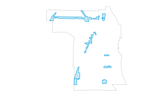
Zoning overlay districts
The Zoning Code is located in Title 6 of the Municipal City Code. The Zoning Code promotes the public health, safety, comfort, convenience, general welfare, objectives and policies of the comprehensive general plan. As adopted and amended b
 Areas
Zoning & Property
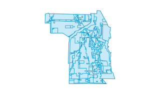
Zoning Districts
The Zoning Code is located in Title 6 of the Municipal City Code. The Zoning Code promotes the public health, safety, comfort, convenience, general welfare, objectives and policies of the comprehensive general plan. As adopted and amended b
 Areas
Environment & Energy
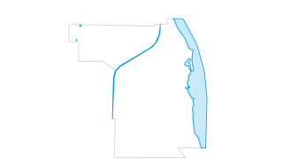
Water bodies
This layer shows bodies of water in and around the City of Evanston. The chief among these is Lake Michigan to the east with 4.25 miles of shoreline. The data also includes 3 miles of the North Shore Channel, the 14.2 acre Northwestern Lago
 Areas
Boundaries & Demographics
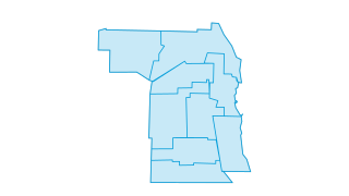
Wards
The City of Evanston is divided into nine wards. One council member is elected to represent each ward.
 Points
Environment & Energy
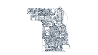
Trees
The City of Evanston has inventoried and maintains over 32,000 trees located on City property and in the parkways. The initial data provided on trees located within the City of Evanston was collected in 2014. Maintenance and tree preservati
 Points
Transportation
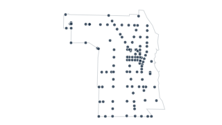
Traffic signal intersections
The City of Evanston has just under 120 intersections controlled by traffic signals.
 Points
Transportation
Traffic circles
Traffic circles are a traffic calming device employed by the City of Evanston along with speed humps.
 Areas
Zoning & Property
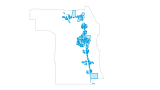
TOD area parcels
A Transit Oriented Development (TOD) area is a development pattern created around a transit station that is characterized by higher density, mixed uses, pedestrian environment, reduced parking, and a direct and convenient access to the tran
 Areas
Boundaries & Demographics
The City of Evanston
The City of Evanston is approximately 7.8 square miles and bounded by Lake Michigan to the east, Chicago to the south, Skokie to the west, and Wilmette to the north.
 Areas
Zoning & Property
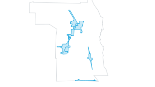
Tax Increment Financing (TIF) districts
The City of Evanston has designated certain areas of the city as Tax Increment Financing, or TIF, districts. TIF Districts are established in compliance with State of Illinois statutes. The mechanism is designed to assist financially desira
 Areas
Transportation
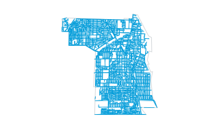
Streets and alleys
The City of Evanston has just over 1 square mile of street and alleys covering its surface which comes to about 13.5% of total land area. This layer shows the areas covered by streets and alleys, both paved and unpaved.
 Lines
Transportation
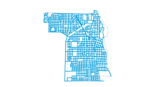
Street centerlines
The City of Evanston has approximately 147 miles of street centerlines within its borders. These centerlines are coded with address ranges for use in geocoding and also includes honorary street names, speed limits, and ownership data. McCor
 Points
Transportation
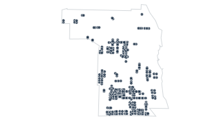
Speed humps
Speed humps are a traffic calming device employed by the City of Evanston along with traffic circles.
 Areas
Zoning & Property
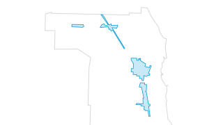
Special Service Areas (SSAs)
A Special Service Area (SSA) is defined by Illinois State Statute as a contiguous area within a municipality or county in which special services are provided in addition to those services provided generally throughout the municipality or co
 Lines
Transportation
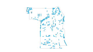
Sidewalk edges
This layer shows the edges of paved sidewalks throughout the City of Evanston.
 Areas
City Services
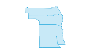
Refuse collection days
Trash is picked up in the City of Evanston on a four day schedule.
 Areas
City Services
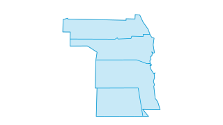
Recycling collection days
City of Evanston Public Works picks up recycling on a four day cycle.
 Lines
Transportation
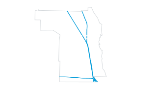
Railroad tracks
The approximately 22.5 miles of railroad tracks in the City of Evanston traveled by CTA, Metra, and freight trains.
 Areas
Boundaries & Demographics
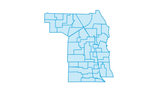
Precincts
The City of Evanston is divided into nine wards. Each ward is then sub-divided into precincts. One alderman is elected to represent each ward.
 Areas
Public Safety
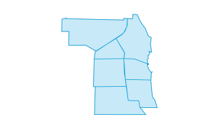
Police patrol beats
Evanston Police Department divides the City of Evanston into seven patrol beats.
 Areas
Parks & Recreation
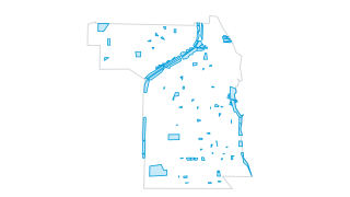
Parks
The City of Evanston maintains 76 of its own parks spread over 273 acres. This parks layer also includes 10 Ridgeville Park District parks, 2 Lighthouse Park District Parks, 1 Cook County Forest Preserve (Perkins Woods) and the portion of t
 Areas
Transportation
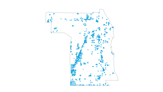
Parking lots
This layer shows a parking lots within the City of Evanston as captured from aerial photos.
 Points
Transportation
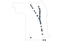
Overhead Bridges
Bridges over roadways in the City of Evanston along with clearance heights and height types.
 Lines
Transportation
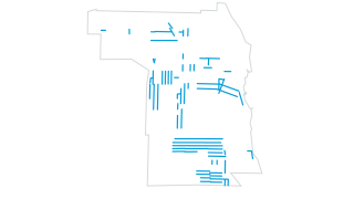
One-way streets
The City of Evanston uses one-way streets to help the flow of traffic and make driving safer along with other tools like speed humps and traffic circles.
 Areas
Zoning & Property
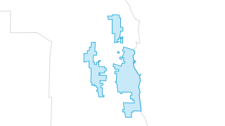
Local historic districts
The City of Evanston's local historic districts consist of the Northeast, Ridge, and Lakeshore historic districts.
 Lines
Zoning & Property
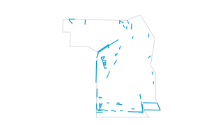
Fences
Fences within the City of Evanston.
 Areas
Zoning & Property
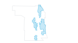
Federal historic districts
The National Register of Historic Places is part of the National Park Service. Four National Register historic districts have been designated in the City of Evanston. They consist of the Northeast, Ridge, Lakeshore and Oakton historic distr
 Lines
Transportation
Driveways
This layer shows driveway edges within the City of Evanston.
 Points
Transportation
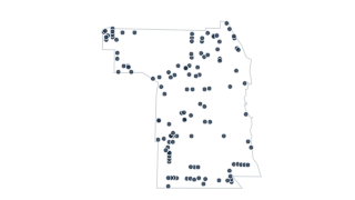
Cul-de-sacs
The City of Evanston has just over 120 cul-de-sacs.
 Points
Transportation
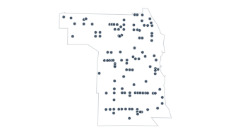
Crosswalks
The City of Evanston has just under 100 crosswalks ranging from pedestrian crossings to school crossing guard locations to senior crossings.
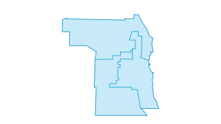 Areas
Public Safety
Community Policing Areas
As a part of the Field Operations Division, the Community Policing Unit's uniformed officers provide motorized patrol along with highly visible foot and bike patrol in neighborhoods. PST officers serve as a community policing mechanism by m
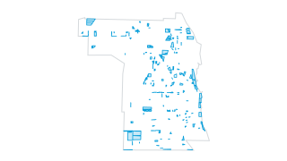 Areas
Zoning & Property
City Property
City of Evanston tax parcels with PIN, landuse, and a link to the Cook County Property Tax Portal.
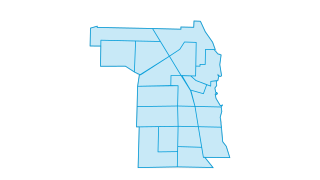 Areas
Boundaries & Demographics
Census 2020 Tracts
The 19 tracts from the 2020 Census within the City of Evanston.
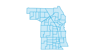 Areas
Boundaries & Demographics
Census 2020 Block Groups
Block groups from the 2020 Census.
 Areas
Boundaries & Demographics
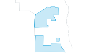
CDBG Target Area
Each year, the City of Evanston receives approximately $2 million in federal Community Development Block Grant (CDBG) funds as an entitlement community of the U.S. Department of Housing and Urban Development (HUD). For more information see
 Areas
Transportation
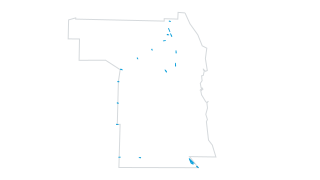
Bridges
Road and rail bridges in the City of Evanston.
 Lines
Transportation
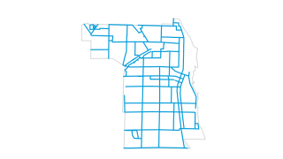
Bicycle routes, lanes, and paths
The City of Evanston has approximately 45 miles of protected bike lanes, bike lanes, bike routes and off-street paths.
 Areas
Parks & Recreation
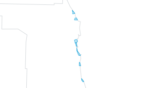
Beaches
The City of Evanston maintains 6 beaches along the beautiful shore of Lake Michigan, one of which is dedicated for use by dogs. Lincoln Street beach is managed by Northwestern University.
 Areas
Zoning & Property
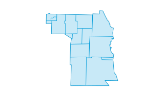
Annexation Chronology
Annexations by the City of Evanston through the years.
 Points
Zoning & Property
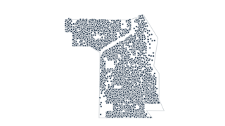
Addresses
The City of Evanston has just over 17,000 primary site addresses. This data does not include sub-units such as apartments, condominiums, or suites.
Public Safety
Arrests in Evanston, IL (2016 to 2021)
Arrests in Evanston, IL, between 10/05/2016 to 12/12/2021.
 Points
City Services
311 Service Requests (2013 to 2022)
Service requests submitted to Evanston 311 between 12/30/2013 to 2/23/2022. Please note that this dataset is not complete, and we are working to correct missing and duplicate records.
City Services
311 Channels Data (2019 to 2020)
Data breaking down channels used for 311 inquiries; weekly statistics from 10/16/19 to 3/11/2020.